Weather Presents Itself Rather Gloomy Over the Weekend

Gloomy weather is expected for the weekend. On Monday, a warm front will reach Austria, predicted Geosphere Austria on Thursday. Already on Friday, the sky will remain mostly overcast, except for sunny spells in East Tyrol and Upper Carinthia, as well as in the afternoon in some areas in the far west and inner alpine regions. It will rain or snow quite frequently, especially in the northern half of Austria.
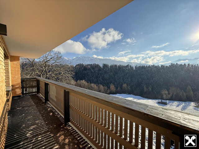
The snow line in Upper Austria is often below 700 meters, while in Styria it is usually well above 1,000 meters above sea level. In the afternoon, precipitation is expected to decrease everywhere. The wind will blow weakly to moderately, preferably from the west to north, with early temperatures from minus two to plus five and daytime highs from two to eight degrees.
Weather on the Weekend
Especially in the east and southeast, there will be frequent fog and high fog on Saturday. These will persist stubbornly in some areas throughout the day, and in some places, it may drizzle from the fog cover. Elsewhere, the day often begins quite sunny. Later, some cloud fields will pass through. It will remain dry in many places, but in the afternoon, the likelihood of precipitation will increase, especially in Vorarlberg and the border area with Bavaria. Early temperatures will range from minus five to plus five degrees, and daytime highs will be around two to nine degrees, depending on fog or sun.
Sunday will start partly with fog or high fog, but also with residual clouds in the far east. There may still be some isolated rain from these. While the sun will prevail in the east during the day, clouds will often dominate in the west even in the afternoon, but rain will usually be minimal. The snow line will range between 1,300 and 1,700 meters above sea level. The wind will blow weakly to moderately from different directions. Early temperatures will range from minus six to plus four degrees, and daytime highs will range from four to ten degrees.
Weather at the Start of the Week
At the beginning of the week, a warm front will cross the Alpine region from the west. Dense clouds and rain are expected throughout the country. After the rapid passage, only local residual showers and a few residual clouds are expected on Monday afternoon. However, the sun will often shine. The most sunshine will be on the southern side of the Alps, especially from East Tyrol to southeastern Styria, where it will mostly remain dry. The wind will usually blow weakly to moderately, with the front passage especially on the northern side of the Alps also briskly from the west, with early temperatures from minus four to plus six and daytime highs from six to 13 degrees.
High-pressure influence will ensure calm weather conditions on Tuesday. The day will mostly start with only harmless veil clouds. Only in the north will there initially be dense cloud fields, from which it may drizzle locally. However, this cloud cover will move northeast in the course of the morning, so that only high clouds will be visible in the afternoon. In the west and south, it will even be cloudless at times. The wind will usually blow only weakly. Early temperatures will be expected to range from minus three to plus six degrees, with daytime highs of up to seven to 14 degrees.
(APA/Red)
This article has been automatically translated, read the original article here.
Du hast einen Hinweis für uns? Oder einen Insider-Tipp, was bei dir in der Gegend gerade passiert? Dann melde dich bei uns, damit wir darüber berichten können.
Wir gehen allen Hinweisen nach, die wir erhalten. Und damit wir schon einen Vorgeschmack und einen guten Überblick bekommen, freuen wir uns über Fotos, Videos oder Texte. Einfach das Formular unten ausfüllen und schon landet dein Tipp bei uns in der Redaktion.
Alternativ kannst du uns direkt über WhatsApp kontaktieren: Zum WhatsApp Chat
Herzlichen Dank für deine Zusendung.

