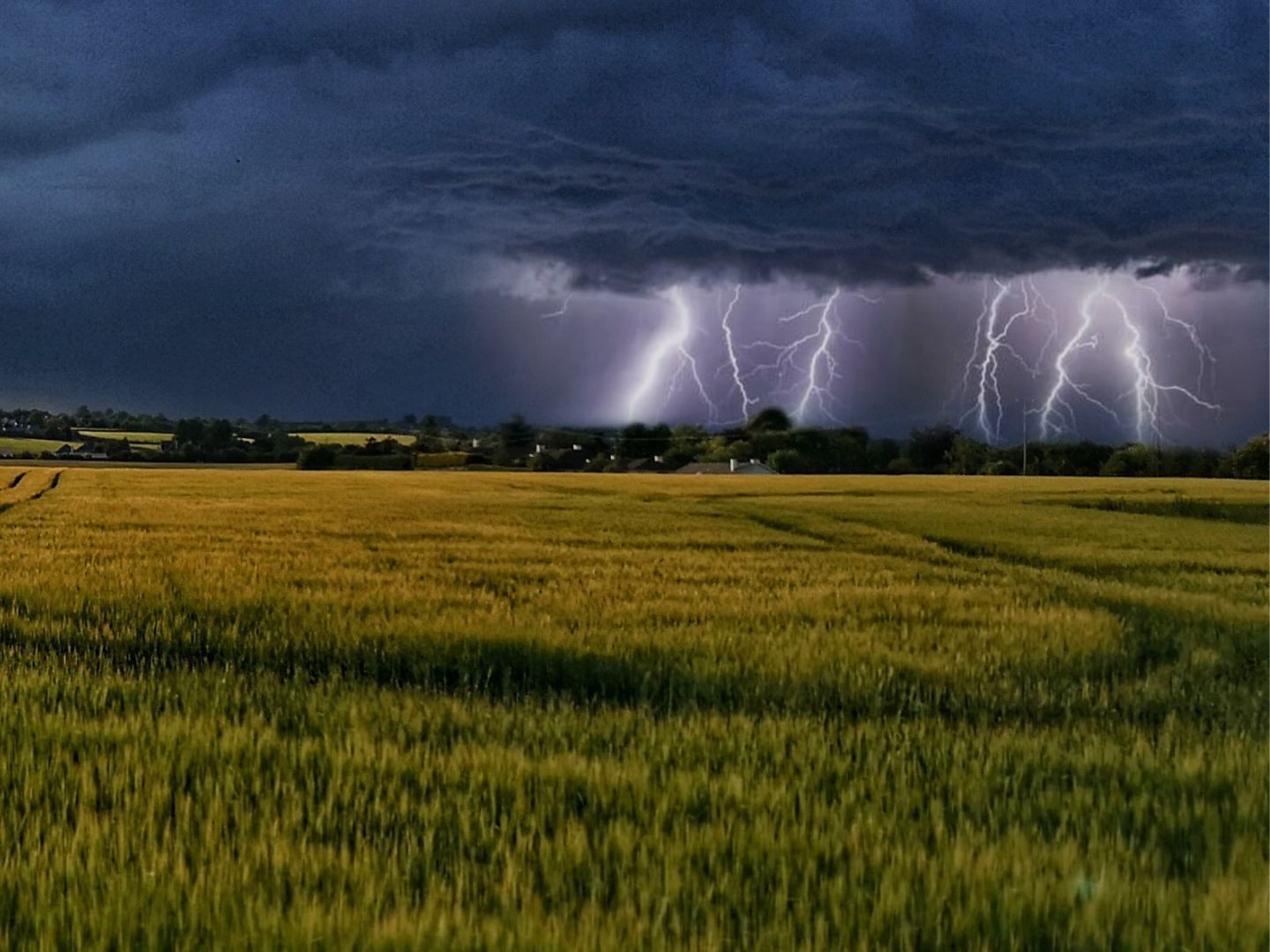
Summer Doesn't Give Up: Heat and Storms at the End of the Holidays

Summer is not over yet: The weather will clearly improve in the coming week - and from Wednesday it will also be hot in the east, promised Geosphere Austria on Sunday in their weekly forecast. Any small-scale fog and high fog fields will clear by Monday morning. In many places, the weather will be quite sunny overall. The daily high temperatures will climb to 20 to 25 degrees.
Last Week of August Brings Heat and Thunderstorms
On Tuesday, there will initially be some fog or high fog in some valleys and basins, especially on the southern side of the Alps, and possibly harmless clouds in the middle to higher layers in the northeast. Otherwise, sunshine will generally prevail from the morning. In the afternoon, a few cumulus clouds will form over the mountains, but they could only bring short rain showers in isolated cases. Light winds, with highs of 23 to 28 degrees.
On the northern side of the Alps and in the north, a few cloud fields will temporarily arrive on Wednesday morning, and some rain is possible in places. Apart from that, the sun will mostly shine, and in the afternoon, more cumulus clouds will form mainly over the mountains. Local heat thunderstorms are possible along the main Alpine ridge and to the south. The wind will blow weakly to moderately, initially more from the west, in the afternoon from the east to the south. Early temperatures 8 to 17 degrees, daily highs 25 to 30 degrees.
Temperatures Climb Over 30 Degrees Again
Along and south of the main Alpine ridge from the Silvretta to the Carnic Alps, clouds will accumulate on Thursday and rain will gradually set in, which can be heavy at times. Elsewhere, the sun will still shine frequently at first. In the course of the afternoon, however, clouds will generally increase, and especially in the northern Alpine foothills as well as in the Mühl and Waldviertel, partly heavy thunderstorms are possible towards the evening. It will remain dry and often sunny all day in the east and southeast. Along the northern side of the Alps as well as in the east and south, a brisk to strong south wind will pick up, with stormy south foehn blowing on the mountains. Early temperatures 9 to 18 degrees, daily highs mostly 26 to 33 degrees, in the rainy west and southwest it will remain cooler with 20 to 25 degrees.
In the western half, some cloud fields will already pass through from the start on Friday, and it will also rain in places, especially in the far west and southwest. During the day, the cloud cover will temporarily clear here, but showers and thunderstorms will become more frequent. It will remain consistently sunny in the east and southeast, with only harmless cloud fields passing through. The wind will still blow quite briskly from the southeast to southwest in the east and south as well as in the mountains. Early temperatures 12 to 20 degrees, daily highs from west to east 18 to 33 degrees.
(APA/Red)
This article has been automatically translated, read the original article here.
Du hast einen Hinweis für uns? Oder einen Insider-Tipp, was bei dir in der Gegend gerade passiert? Dann melde dich bei uns, damit wir darüber berichten können.
Wir gehen allen Hinweisen nach, die wir erhalten. Und damit wir schon einen Vorgeschmack und einen guten Überblick bekommen, freuen wir uns über Fotos, Videos oder Texte. Einfach das Formular unten ausfüllen und schon landet dein Tipp bei uns in der Redaktion.
Alternativ kannst du uns direkt über WhatsApp kontaktieren: Zum WhatsApp Chat
Herzlichen Dank für deine Zusendung.


