Interactive Map Shows Seating Options in Vienna
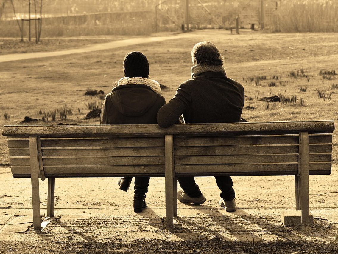
While Copenhagen has already implemented advanced solutions in urban design, there are significant deficits in the Austrian capital. The advocacy groups Geht-Doch, Radlobby Wien, and Walk-Space are campaigning for more accessibility and comfort with a new interactive map.
Vienna Needs More Seating Options
Being able to sit down in the city without having to consume is a basic need for many people. While Copenhagen provides non-consumption seating options on eight out of ten streets, Vienna offers such facilities on only two out of ten streets, as reported by ORF. This critical situation is sharply criticized by the advocacy groups Geht-Doch, Radlobby Wien, and Walk-Space.
Demand for Comprehensive Availability
The NGOs demand that seating options be available every 100 meters. These should not only serve as waiting areas or meeting points but also enable older people and individuals with mobility impairments to have self-determined mobility. The lack of seating options negatively affects the quality of life in the city.
Interactive Potential Map for Seating Options
To improve the situation, the interest groups have launched the interactive potential map for seating options. This map was created in collaboration with the Board of Trustees for Traffic Safety (KfV). It shows in green areas where there are sufficient seating options and in red areas where there is a lack of them. The goal is to create a total of 10,000 seating options in Vienna by 2030; however, the implementation is progressing slowly.
Review of Previous Initiatives
Since 2020, around 60,000 people have been advocating for more seating options as part of the "Space for Vienna" initiative. The interim report after five years shows that progress has been made in some districts, while other districts do not pay sufficient attention to the issue.
Participate and Expand the Map
Due to the lack of a comprehensive database on existing seating options, the new potential map serves as a basis for expansion. Interested parties can enter or correct locations of seating options in the interactive map, which is based on the open dataset from OpenStreetMap (OSM). The map considers various types of seating options, including benches, chairs, loungers, parklets, and public outdoor seating areas.
(Red)
This article has been automatically translated, read the original article here.
Du hast einen Hinweis für uns? Oder einen Insider-Tipp, was bei dir in der Gegend gerade passiert? Dann melde dich bei uns, damit wir darüber berichten können.
Wir gehen allen Hinweisen nach, die wir erhalten. Und damit wir schon einen Vorgeschmack und einen guten Überblick bekommen, freuen wir uns über Fotos, Videos oder Texte. Einfach das Formular unten ausfüllen und schon landet dein Tipp bei uns in der Redaktion.
Alternativ kannst du uns direkt über WhatsApp kontaktieren: Zum WhatsApp Chat
Herzlichen Dank für deine Zusendung.
